How to Read Flood Zone Maps
-
font size
decrease font size
 increase font size
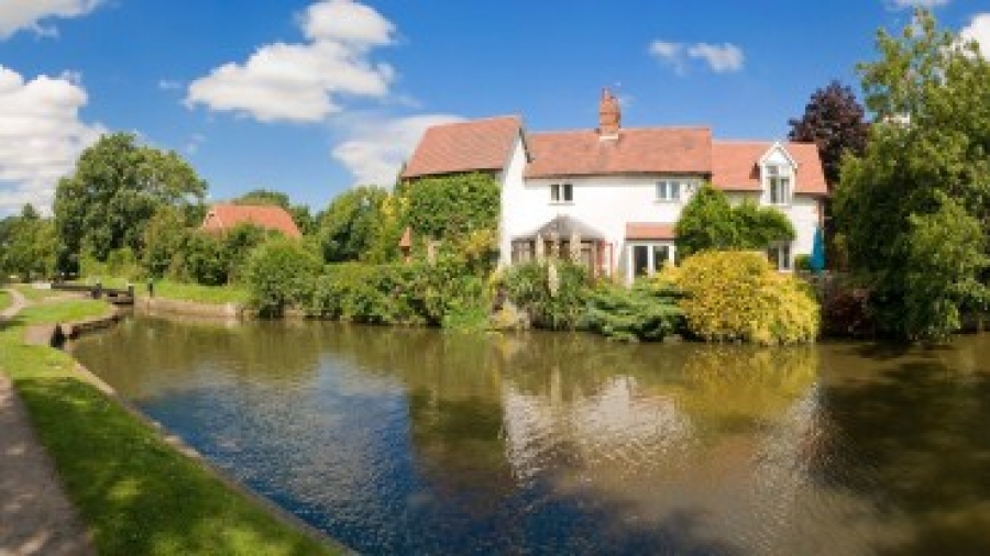
Flooding occurs when water exceeds normal cyclical levels in areas that are largely considered to be dry land. Flooding can result in damage to property and subsequent expenses. Flood maps illustrate which areas of a region are more likely to flood than others in a given year and are used by insurance companies to determine flood insurance premiums.
Land developers use flood zone maps to determine how to build on a particular parcel of land. “Whenever we are looking at a piece of property, we have engineers look at it,” said Charlie Driscoll, president of Edwards Land Company in Columbus, Ohio. “If there is a flood way where a creek actually flows, you can’t [build on] that. A flood plain is not the flowing area but is covered with water every 50 or 100 years; if you’re going to build on a flood plain, sometimes you have to make your project a little wider.”
Reading Flood Zone Maps
Flood zone maps are published for every municipality and county by the U.S. Army Corps of Engineers. To locate a flood zone map for your property you will need to know whether you are within or outside an incorporated jurisdiction. If within, find the city, town, or village map; if outside, find the county map. Z-fold and flat flood maps are two types of flood zone maps.
- Z-fold maps are similar to standard street maps, with each fold being considered a panel.
- Flat flood maps include a cover page with an index and one or multiple 11” x 17” panels.
Refer to the official map panel numbers and any legend information to help you read the map. Also, if a “Flood Insurance Rate Map” designation is present, the Federal Emergency Management Agency (FEMA) has determined that areas included in the map possess a risk of flooding.

Common References on Flood Zone Maps
- 50- and 100-year floodplains. Fifty and 100-year floodplains are areas that the U.S. Army Corps of Engineers has determined are likely to flood once every 50 and 100 years. One-hundred-year floodplains are designated by light shadin,g while 50-year floodplains are designated by darker shading. Also, check for areas that are shaded lighter than the 100-year floodplains. These areas are considered to be in 500-year floodplains.
- Elevation markings. Small numbers printed on a flood plain map indicate the number of feet a particular location is above sea level.
- Scale. Check the header box on the flood zone map to determine the scale of the map. On most flood zone maps, one inch of map space is equivalent to 500, 1,000, or 2,000 feet.
- Revision dates. On the bottom or on a corner of the map, you will notice the letters “Rev.” followed by a date. This is the date the map was published.
- Address. Locate your address on the flood zone map by spotting the name of your street on the index. Use the corresponding coordinates to turn to the panel or section of the map illustrating your street and parcel of land.
Obtaining Flood Zone Maps
If you want to purchase a copy of a specific flood zone map, review the maps on file at your local municipality or county to determine the panel number you need. Once you have the correct panel number, go to the Federal Emergency Management Agency (FEMA) website.

Darrel Richter
Darrel Richter reports on zoning and development issues for Buildipedia.com. He has enjoys covering business, development and consumer matters. He is an experienced journalist, who has interviewed the likes of Hillary Clinton, Jay Leno and Ohio Governor Ted Strickland while he was campaigning for his first term as a U.S. Congressman.